
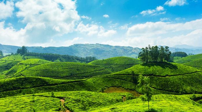
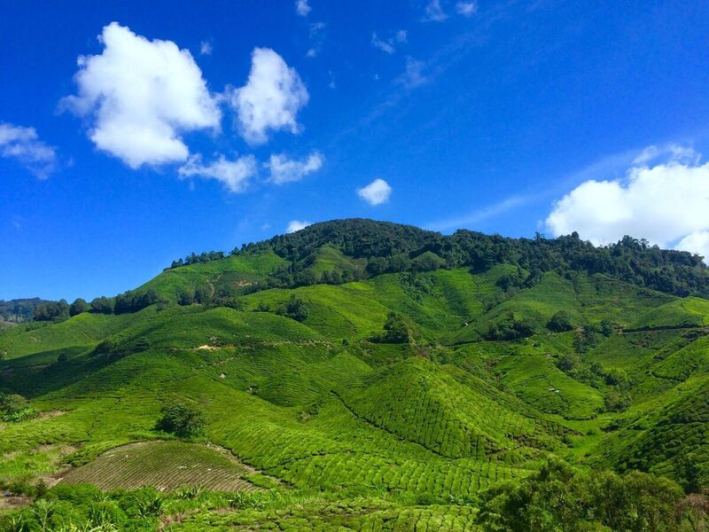
Kurdistan has many important hills and mounds. Due to the high settlement, the passage of many years, and the geological age of Kurdistan regions, the hills are steep and downhill due to the different pressures in the center and on the surface of the earth. These hills are not so high compared to the mountains, but if they were not near the mountains, each of them could be a mountain now.
These hills are used for grazing livestock on the one hand and for cultivating crops on the other.
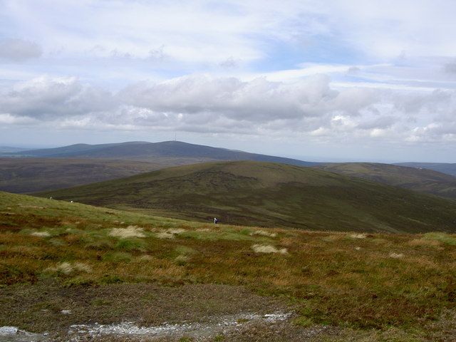
The most important hills and mounds of Kurdistan
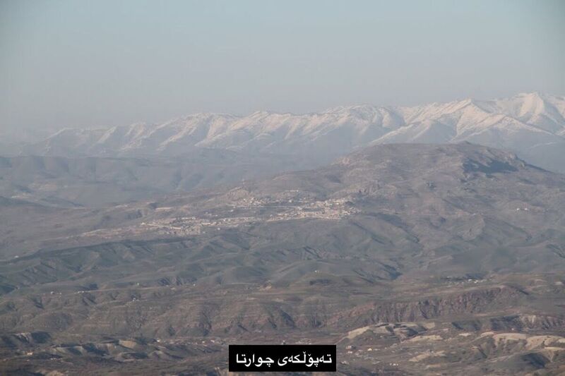
1. Chwarta: This hill is located between the two valleys of Qalachwalan and Siwayl. This hill is located on latitude (35/34) and (36/30) north and longitude (45/23) and (54/53) east and (35) km north of Sulaimani and (1589) m above sea level.
2. Kwanda: This hill is located in the north of Duhok province, the average is between 2100-2430 meters above sea level. Kwanda Hill is rocky and surrounded by high straight mountains that receive heavy snowfall in winter.
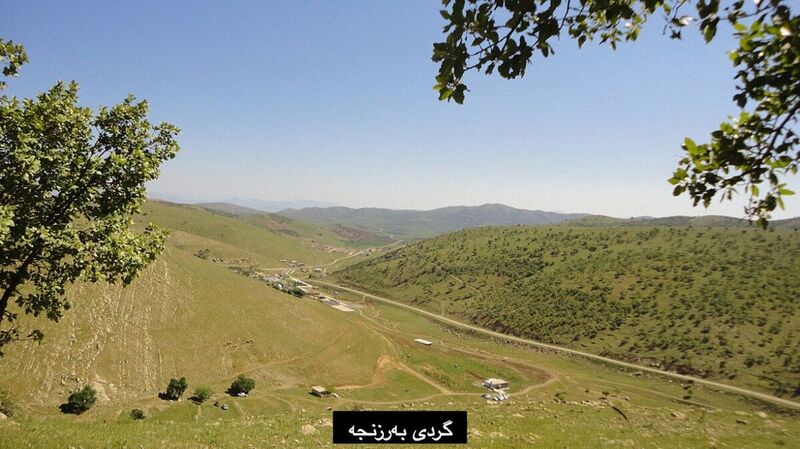
3. Barznja: Barznja Hill is located in Sulaimani province. It is surrounded by the Hawraman Mountains in the east, the Qalachwalan River in the north, and the Sharazur Plain in the south. There are several mountains next to this hill, some of which reach 2200 m above sea level; such as the mountains of Kalakra and Kwrakazhaw.
4. Pishdar: Siwayl Valley is located in its south, Sirwan River in the north, and Qalachwalan in the west. Several mountains are along this hill, the most important of which are Sarsho (2116 meters) and Kanew (2316 meters).
5. Bayazid: Bayazid is a hill located near the border of Turkey and Iran in North and East parts of Kurdistan. In the northern part of this hill, there are the large and small Agri Mountains, and to the south the Tandruk Mountains. From the east it extends to Maku and Khoy, and the Iran-Turkey road passes through these hills.
6. Penjwen: Penjwen Hill is surrounded by complex mountain ranges such as Qaya, Harzala, Yasmal, and others. The height of these mountains is between 1500-2000 meters. Economically, Penjwen Hill is mainly used for grazing livestock as pasture and livestock breeding.
7. Pasinlar: Pasinlar Hill is recorded as Erzurum Hill in some geographical sources. Pasinlar is located in the middle of a mountain range. It is surrounded by the Kargabazar Mountains to the north, the Palandogin Mountains (3124 meters) to the south and the Tala Mountains (3134 meters) to the east. Pasinlar Hill reaches 1750 meters above sea level. The hill is of very importance to Kurdistan economically, especially in the production of crops such as wheat and barley. After the railway between Erzurum and Ankara was laid, the economic importance of this hill increased completely.
8. Mush: It is located between the Bingol Mountains (3111 meters) in the north and Mount Nimrud (2828 meters) in the southeast. The average elevation of Mush Hill is 1400 meters. It covers an area of 1600 square kilometers. Because it is mainly composed of sedimentary material, with a thickness of between 8-10 meters, the soil is very fertile. To the east of this hill, there is a swampy area that covers an area of 60 square kilometers.
9. Malatya: Located in the south of Mount Boz (2581 meters), and its soil is mostly mud and sand. In some places, it is cultivated, especially wheat and barley. Some other places are also good for grazing livestock.
10. Mosul: The Great River of Zab to the east and the mountains of Shangal (Sinjar), Braym, and Atashana to the west. It is between 300-450 meters high. Its terrain is irregular and there are many low mountains and hills, but they are not more than 300 meters above sea level. Except for Mount Maqlub, which is 1057 meters high.
11. Kirkuk: Kirkuk Hill starts near the Diyala River and extends westwards to the Erbil plain. It is between 600 and 1000 meters above sea level. The hill is higher on the west side (500 meters) than on the east side (300 meters).
12. Malazkit: This hill is 1500 meters above sea level. Mount Bingol (3111 meters) is located to its southwest and Mount Sipan (4058 meters) is to its southeast. South of Malazkit, there are two small lakes, the first called Hachli (16 Kchg), 1583 meters high, and the second is Nazik, 1812 meters high. Its soil consists of sedimentary material of basalt silt.
Depending on their geographical location and geological age, hills can be constantly changing due to internal and external factors. These changes and bumps are not noticeable in human life and take many years to form.


